Welcome!
This page has interactive maps for West, South, Central, and North Oakland. By clicking on the icons on the maps, you can get the title of the strategy and click a link to view its details. These are the same strategies that you could find by browsing the plan by chapter or topic, just presented in a way that allows you to focus on proposals for your part of Oakland. The icons on the map tell you whether the proposal is from the Community (person), Development (building), Mobility (bus), or Infrastructure (droplet) chapter.
Important notes:
- These maps don't represent all of the strategies, but instead, those that are easily mapped. For example, the Oakland Plan proposes many programs for all of Oakland that do not show up on these maps.
- These boundaries are the City's official boundaries for these areas and may differ from common perceptions of these areas.
West Oakland Proposals

South Oakland Proposals

Central Oakland Proposals

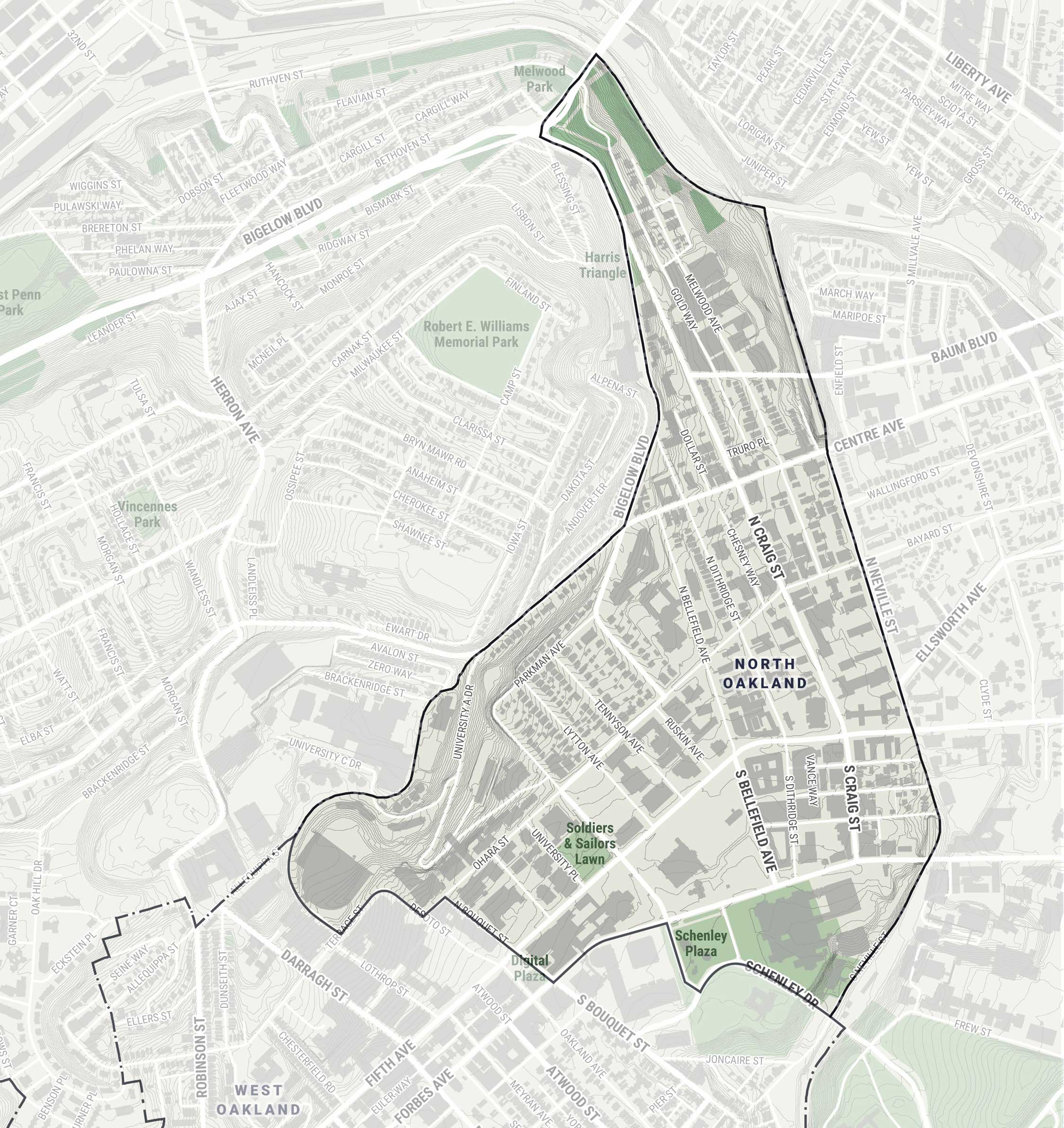
North Oakland Proposals